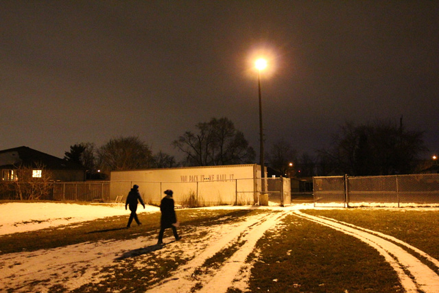
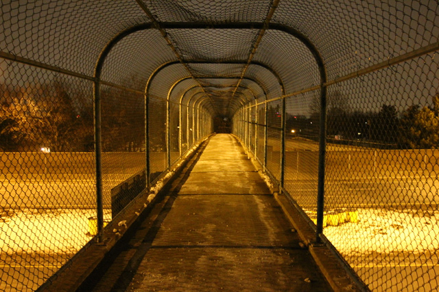
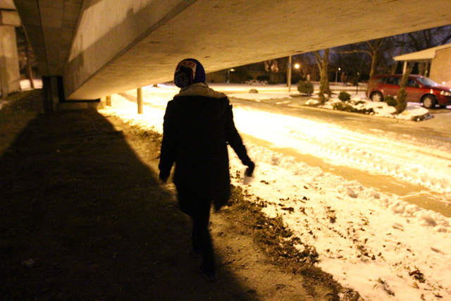
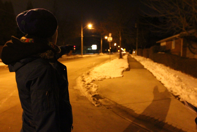
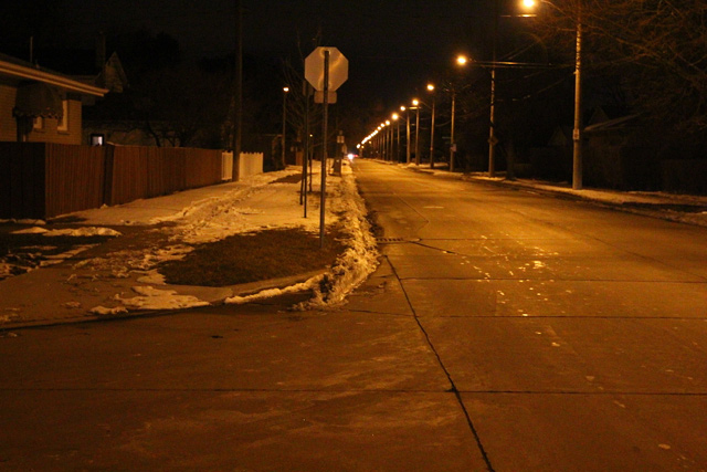
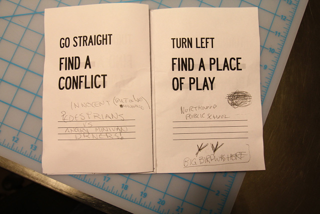
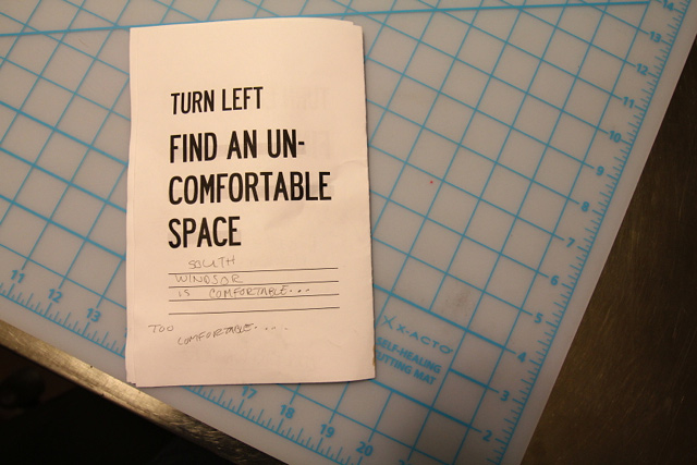
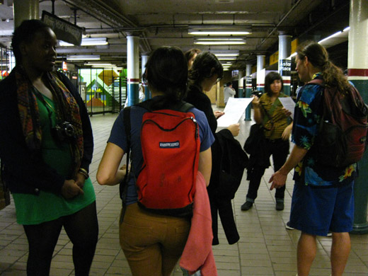
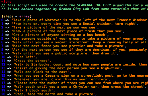
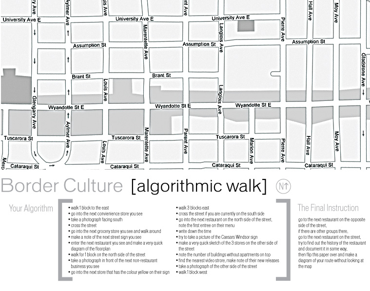
Armed with an algorithm from Sara, Michelle, Rosina, and I headed out on a walk on Monday night. We had decided at our last meeting to roam around some South Windsor neighbourhoods — seeing as we rarely get a chance to venture into that part of town — and we were surprised by how much familiarity we encountered.
For starters, we began the walk at the site of one of our first installations (not accidentally), but it was still incredible to be at that same spot nearly three years later.
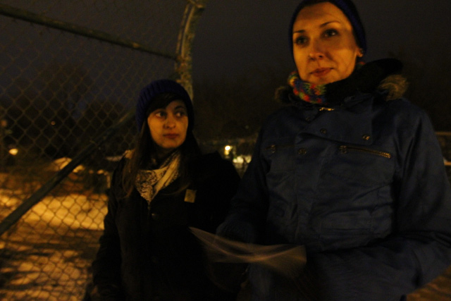
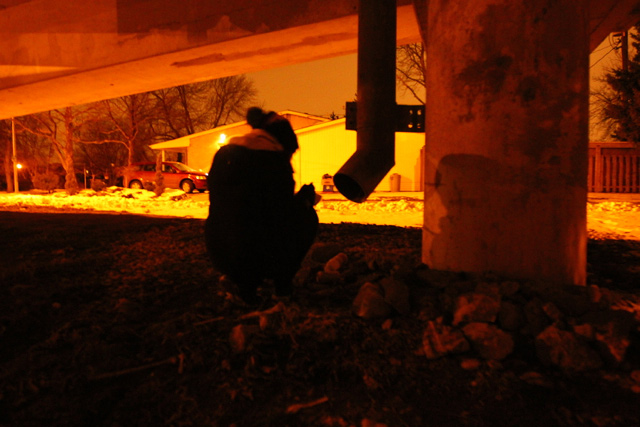
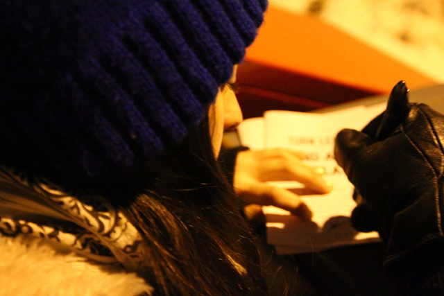
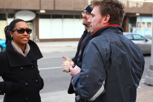
Rosina and Michelle, bundled.
Along the way, we also took note of a variety of spatial activities — things that demarcate or suggest a curious use of the things around us.
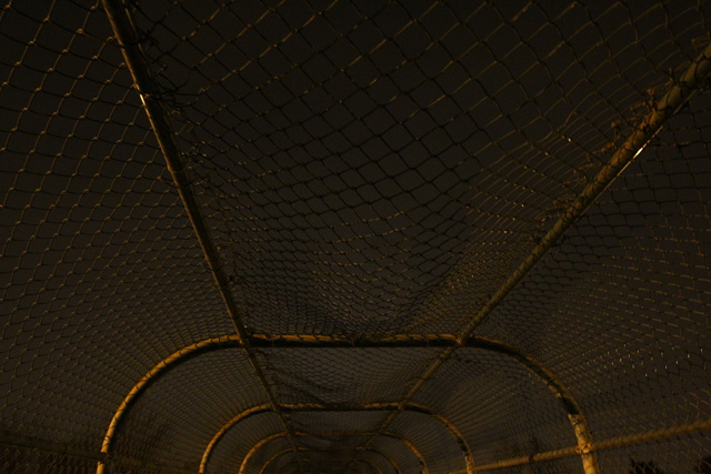
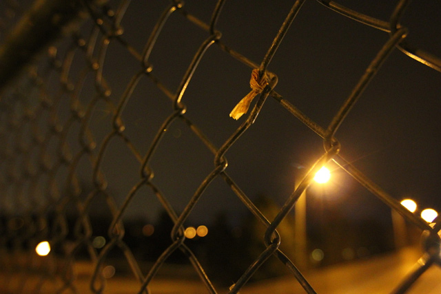
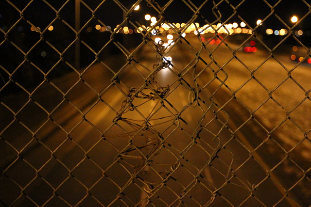
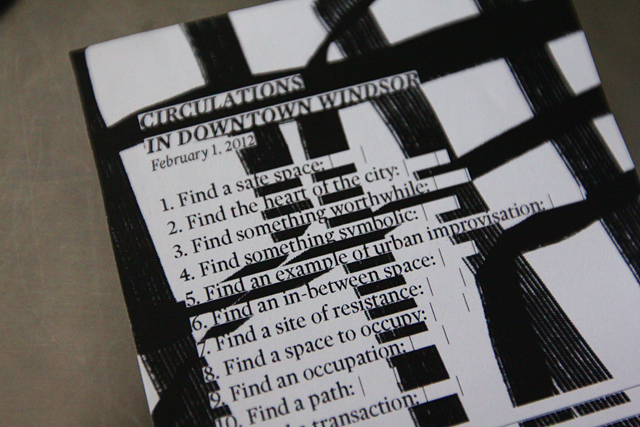
The algorithm Sara gave us guided us through a series of things to find (these are documented at the end of the post), but we also improvised in finding other things. Above, the undulations of the chain link cage.
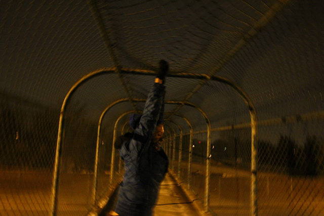
Michelle demonstrates of they’re made.
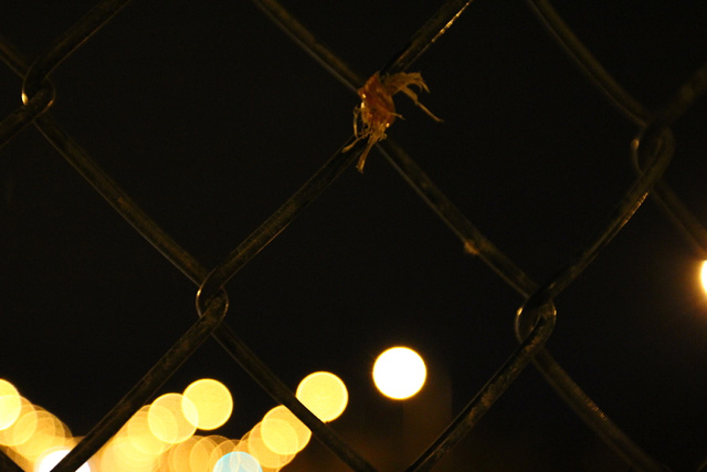
And, in an especially great moment, the remainders of that installation.
It was really incredible to take a moment and think about the morning we installed the project.
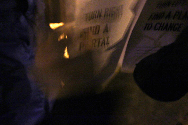
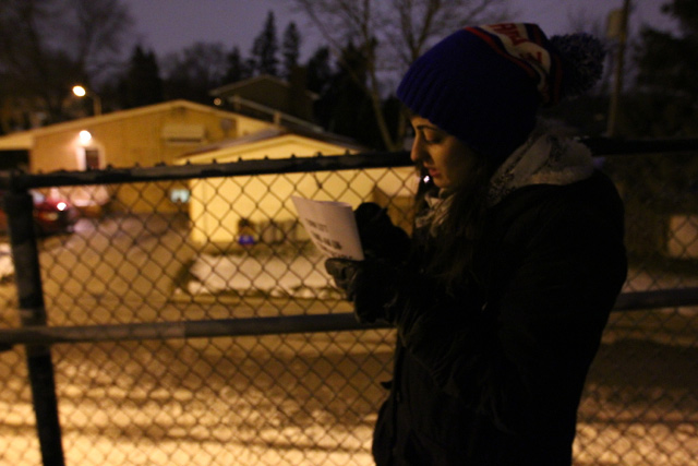
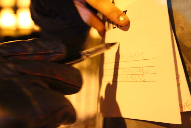
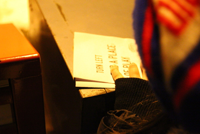
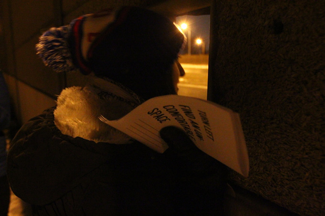
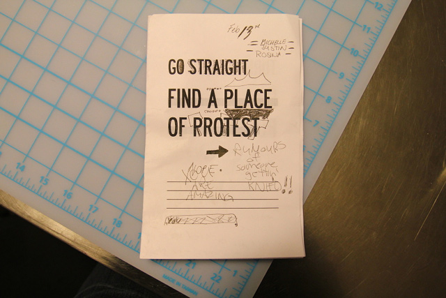
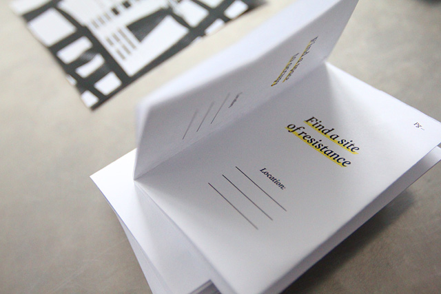
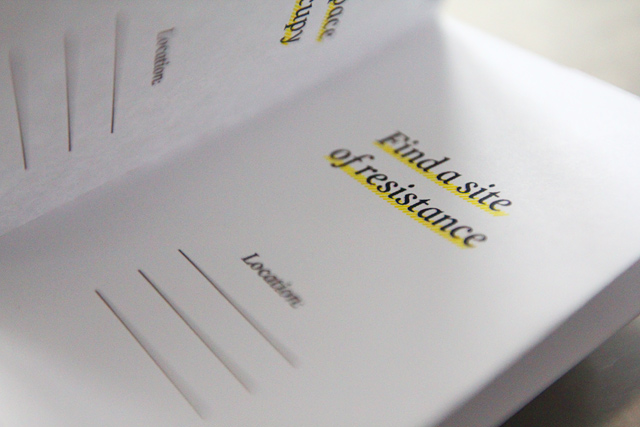
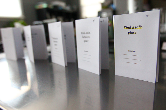
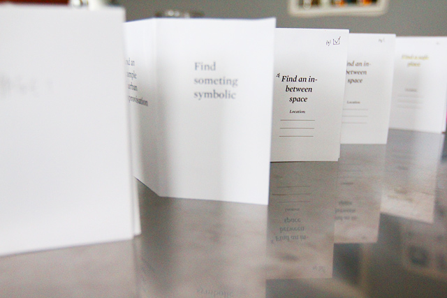
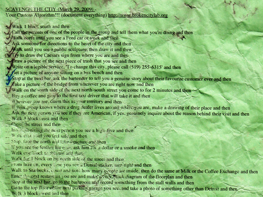
The algorithmic booklet in Rosina’s hands.
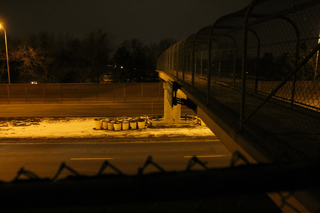
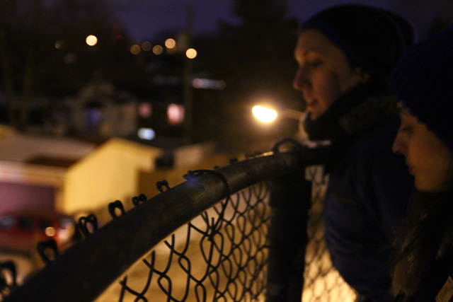
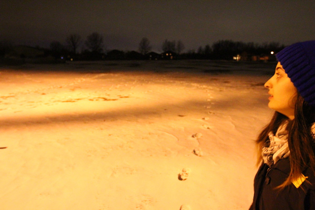
After crossing the overpass, Michelle and Rosina look at the neighbourhood.
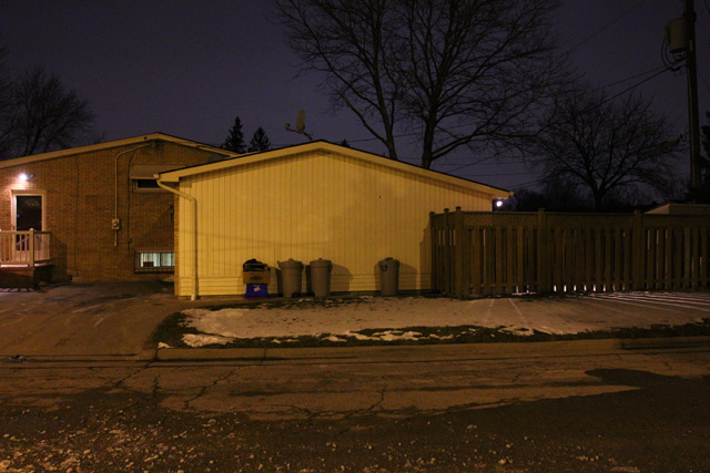
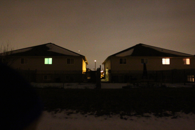
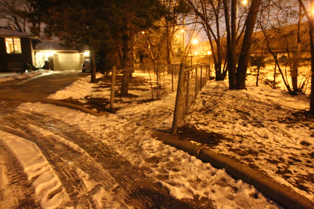
We begin to document the space — above, a fair representation of the housing stock in the area.
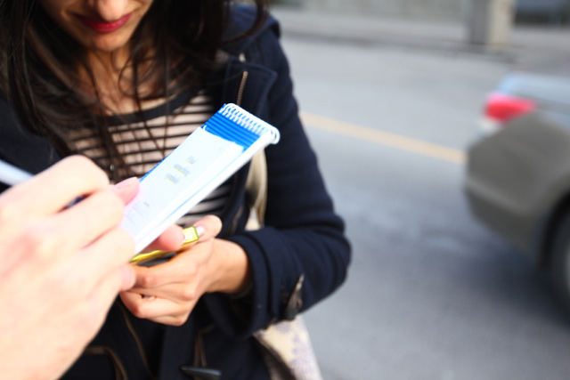
Rosina marks the booklet — the first step, find a site of protest, and we select the installation site of our work.
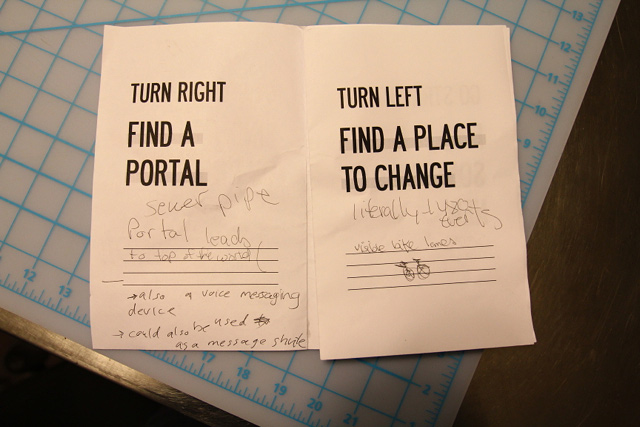
Shortly after, at the base of the pedestrian ramp for the overpass, we find a portal — the next step. Rosina stakes out the portal, while Michelle heads back up the ramp to send messages.
Michelle sends messages through here.
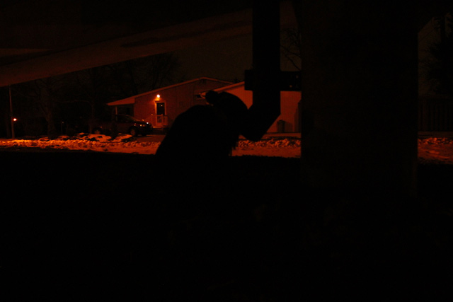
Rosina listening.
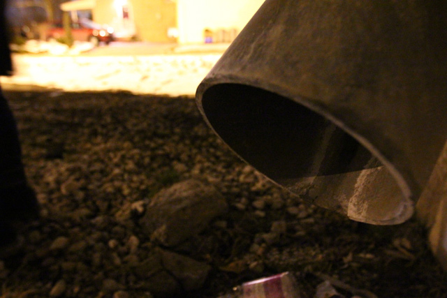
The “portal”, up close. Rosina also reminisces about the area as a site for nearby high school students to congregate. Maybe these used these drainage tubes to send their own messages. Maybe we heard echoes.
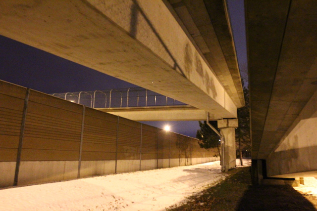
We walk around, trying to imagine the construction of these huge spans of free-floating concrete.
We’re amazed in a way.
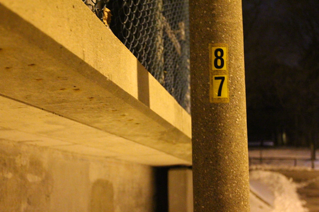
I was also curious if each light post has its own number, or if this is some kind of other demarcation.
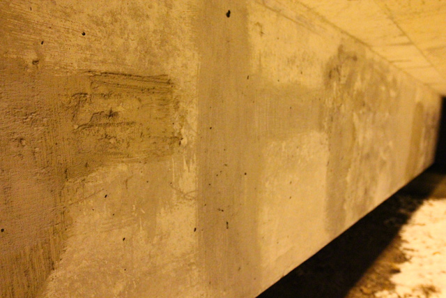
Echoes of covered graffiti, essentially cemented over.
More housing stock, a friend’s place.
In trying to find the next step in our algorithm — a place to change — we all interpreted it as a place to change your clothes (perhaps we were all imagining being on some neighbourhood-wide capture the flag tournament, needing to further camouflage ourselves). We found this large tree.
And then another large tree — these would seem to make the perfect cover.
And then, just to be sure, Michelle suggested something in the streetscape she would like to change. Having biked along this road multiple times, she would love there to be a consistent bike lane.
Far int he other direction, there’s traces of just such a thing.
Then through the school yard at Holy Names.
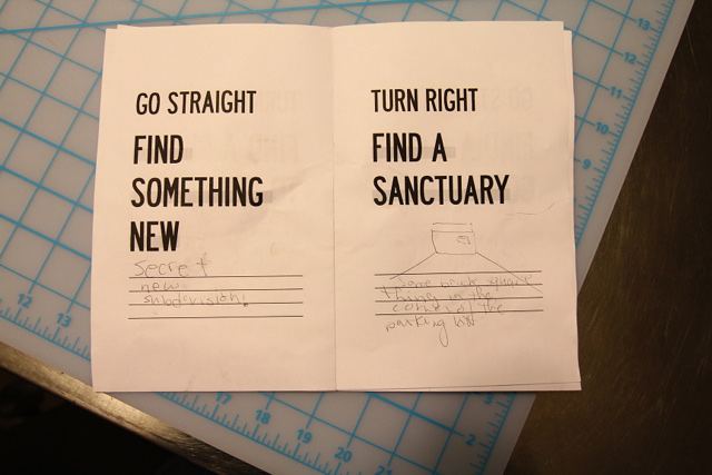
On the search for something new.
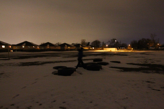
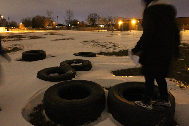
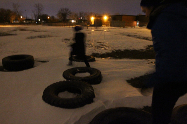
Large tires.
We imagine it must be for giants doing army training.
And then we test ourselves.
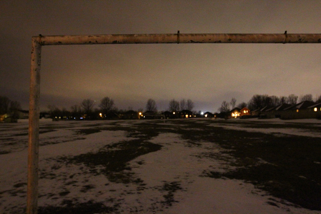
Such vast space.
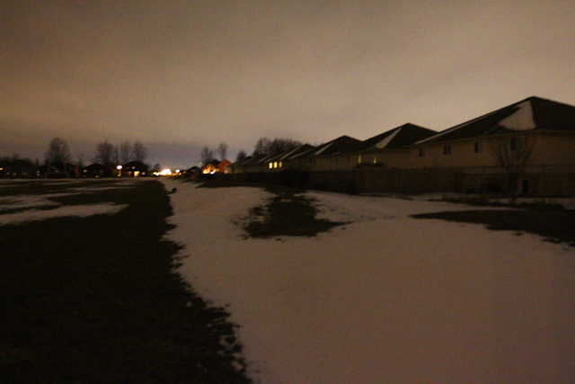
Neighbourhoods border the school.
We find something new in a new neighbourhood.
Then off to find a sanctuary.
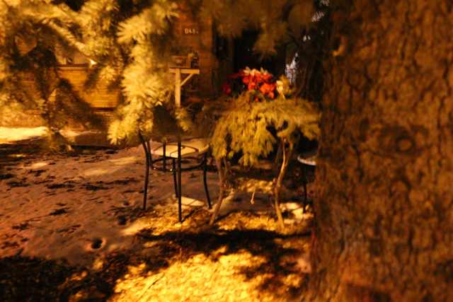
At the edge of the parking lot, we wonder what might be in here. At its back corner, there’s some chairs, we consider this someone’s sanctuary.
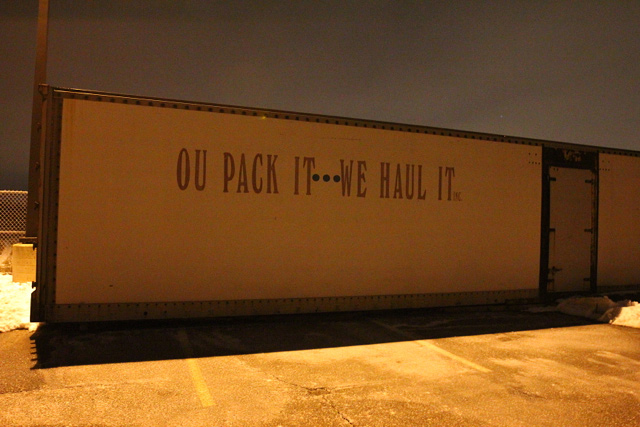
Around the corner of another building…
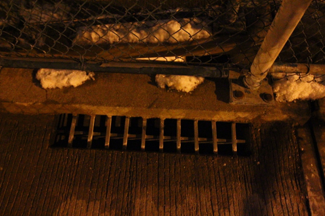
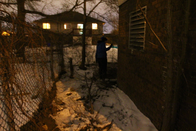
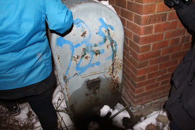
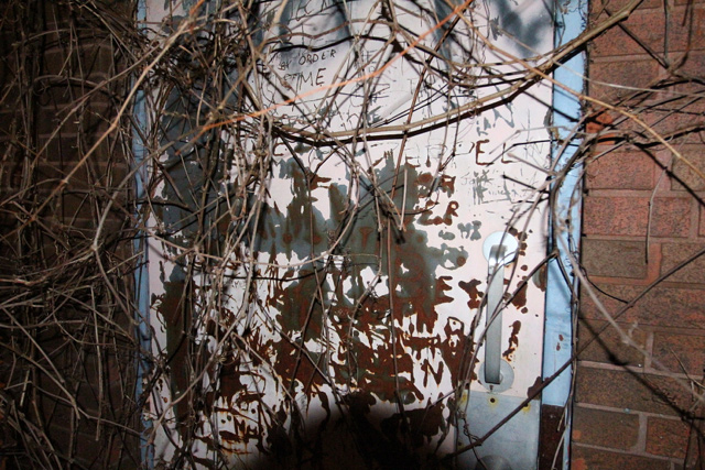
…we find some very loose tags, and perhaps something leaking.
And then time.
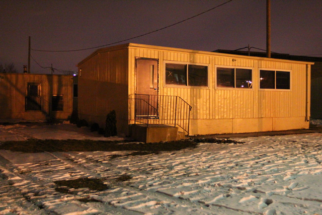
Then back around to the school. Portables that have long since become permanent fixtures — notice the landscaping.
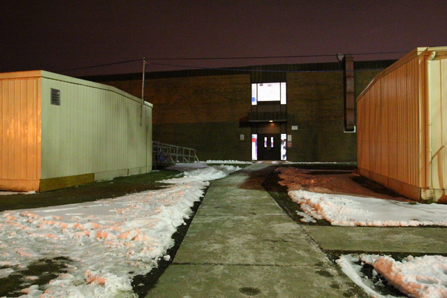
A break in between portables.
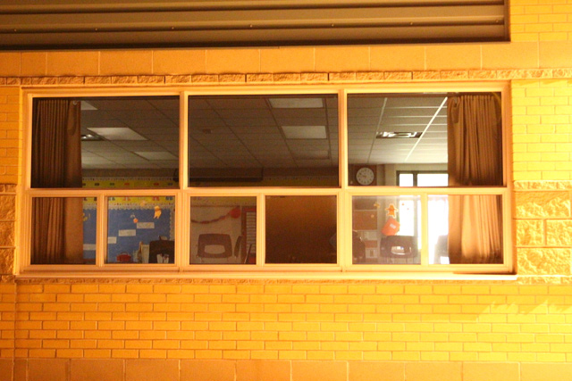
In looking for a place of play, we select an elementary school classroom.
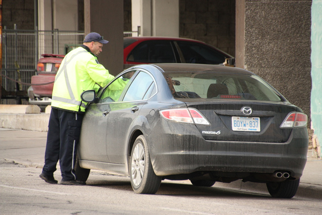
Though we originally marked an interaction with some drivers on their evening commute as the conflict we had to find…
…perhaps this as a site of conflict, with the self ().
Rosina taking notes of our second to last step.
We’re east of Dominion at this point, and we continue to explore, beginning to wind our way back to the start.
A pocket of springtime activity.
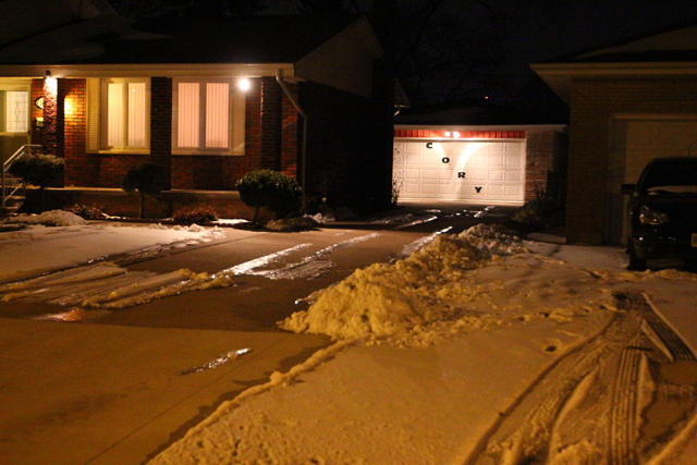
A garage.
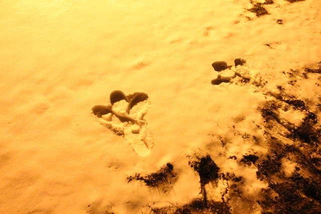
Traces of big bird via Michelle.
Crossing the second overpass as we head back, a really great detail of seemingly improvised repair.
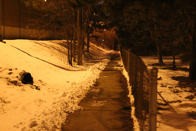
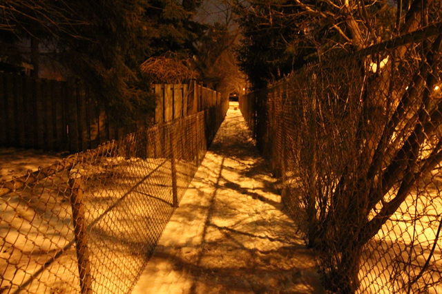
A path that moves pedestrians between backyards and the EC Row retaining wall.
It zig zags to connect corners of south Windsor streets.
And then, a small view onto the EC Row.
Rosina peaks out.
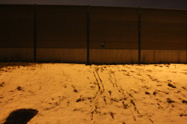
We couldn’t figure out why this would have been designed into the wall — automotive glory hole. (*update: Thanks to Owen for letting us know its to bring fire hoses through the wall in the event of a big accident)
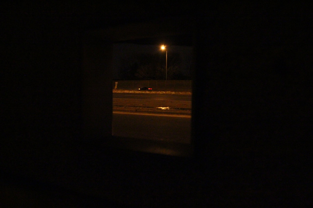
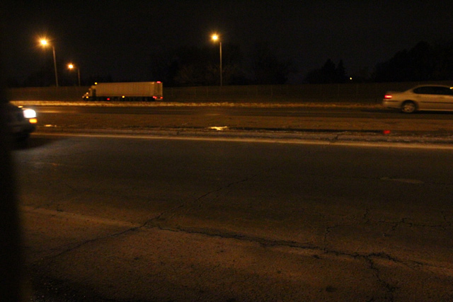
The view from the wall opening.
The path viewing all the way to Dominion from blocks away — made me wonder about how else to formalize shortcuts through in-between spaces.
Cross walk at Dominion, south of EC Row as we wrap up for the evening.
And then, the algorithm with Rosina’s notation.
Thanks to Sara for getting us lost. I’m looking forward to the next one of these. Maybe next week? Who’s in?
