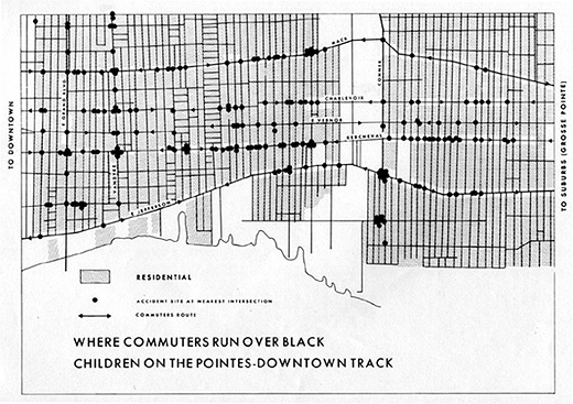
Theoretical Geography: Bill Bunge and the Quantitative Revolution

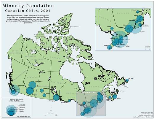
Canadian Minorities by Zachary Johnson 2005

Zachary Forest Johnson is (according to his bio page) a cartographer specializing in online maps and information visualizations. He is in the second year of a M.S. program in Cartography and GIS at the U of Wisconsin. In a previous life, he studied Political Science (gaining a BA from the U of Arkansas and a MA from the U of Wisconsin). His other passions include running, politics, typography, and gin and tonics.

Zachary is also the author of the blog indiemaps.com, an interesting blog on contemporary mapping methods using HTML and Java to produce interactive mapping systems and interfaces, various information on historical figures and news. Based on Zachary’s previous education, as outlined above, a certain geo-political undertone can be felt throughout the work; which is a conceptual framework that is at times hard to take at face value (nor should it be) since it is employing abstract data to map something like a countries extent of “freedom” (see Johnson’s “World Freedom Atlas“).

Continue reading “Theoretical Geography: Bill Bunge and the Quantitative Revolution”
Mid-August: Maps, Writing & Cardboard

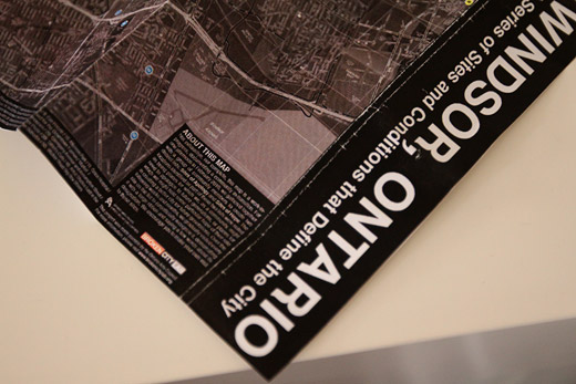
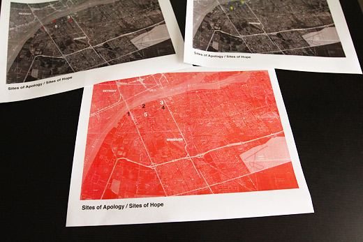
We’ve been quiet on the blog, but not because we haven’t been busy. I’ve been working away at the final touches for the maps for Sites of Apology / Sites of Hope, which while taking longer than I had anticipated, was well worth it. The map looks great, we’ll be posting it on here soon and distributing physical copies.

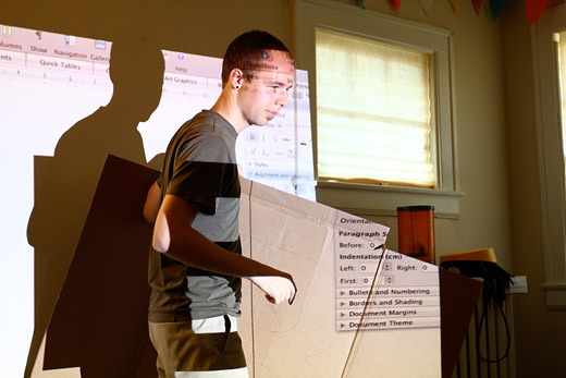
Meanwhile, work continues on our cardboard letters…

Continue reading “Mid-August: Maps, Writing & Cardboard”

Maps + Final Cut

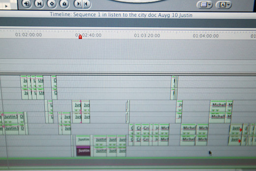
I’ll be spending most of the week finishing up a couple lingering parts of Save the City: assembling the maps for Sites of Apology / Sites of Hope and putting the final touches on the edit from Listen to the City that Danielle assembled.

The audio documentary is going to be an overview, or maybe like a trailer — it’s about 5 or 6 minutes long and will only sample bits and pieces of conversations from the hours of recorded audio from Listen to the City. However, we’ll be posting the unedited clips for download alongside the trailer as well as submitting the trailer and unedited clips on CD to the Windsor Archives.

As well, some very preliminary test maps for Sites of Apology / Sites of Hope. These will actually be 22″ x 17″, but also made available for download. Above are just some sketches, but I showed some of these to Danielle and Cristina — they liked the red map, but I think we’ll go with something like numbered dots to demarcate the sites. Or, potentially, there will be two maps.

Work like this is fun, but a bit of a long road. I suppose I’m being overly cautious to make sure that these are moving in the right direction before committing and doing a complete version, but ultimately, patience now will make it worthwhile not having to redo it later.

SRSI, Day 14: Field Research, Sweater Vests and Postcards

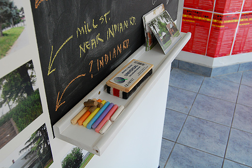
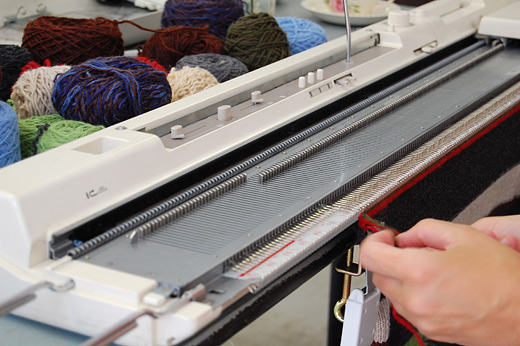
Leesa Bringas’ Postcards to Indian Road project is coming along nicely; some postcards with messages have been returned to her in the mail. Jodi is wrapping up her Sweater Factory with a few completed sweater vests and more to come. BCL Research Fellows Josh and Rosina have been helping the Department of Unusual Certainties with field research, and The Garden Project planters are filling up.

Continue reading “SRSI, Day 14: Field Research, Sweater Vests and Postcards”

SRSI, Day 6: Arrival of Department of Unusual Certainties, Playing Badminton Games

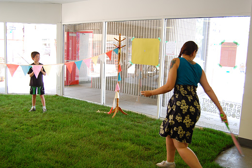
We had a very productive day over here on Pelissier Street. Chris Pandolfi joined Simon Rabynuik to form the Department of Unusual Certainties and began setting up shop in 410. Jodi Green’s knitting machine was in motion for most of the day, and Andrea Carvalho arranged a game of Badminton on Eric Cheung’s interior sod.

Continue reading “SRSI, Day 6: Arrival of Department of Unusual Certainties, Playing Badminton Games”

3D Renderings of Buildings from Windsor + Detroit on Google Earth

detroitwindsor-2

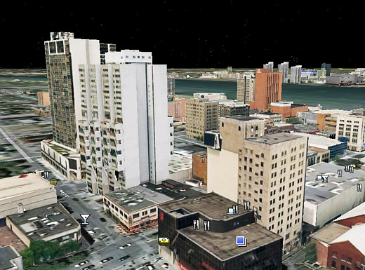
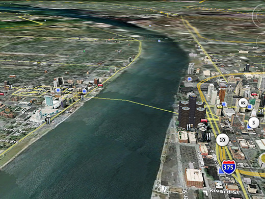
As previously noted on Windsor Visuals and Tom Lucier’s Twitter (via Planetizen), a number of buildings in Windsor and Detroit are now on Google Earth in all of their SketchUp-rendered glory.

It’s quite interesting to fly around and see what buildings have been modeled, not all of which have been done by the SketchUp team, but by local folks with the talent and skill to do it.

I think this is going to help us with a number of projects, since we love to do Photoshop renderings to imagine projects … having the ability to see those renderings on 3D objects can only make things that much easier. I just wish one of us knew how to use SketchUp.

Continue reading “3D Renderings of Buildings from Windsor + Detroit on Google Earth”

Monday Night Research: Lightbulbs & Lists

IMG_5412

We spent another Monday night at BCL HQ planning out this Windsor-Detroit hyper-local tourism idea and doing some basic research for another upcoming project.

We all have some homework to do, but things are moving along nicely on a number of projects, and with the semester winding down, things should be able to push ahead soon!

More pictures of research involving lightbulbs and lists after the jump.

Continue reading “Monday Night Research: Lightbulbs & Lists”

The International Hyper-local Exchange

IMG_5195

Monday night we met with some new friends from Detroit and had an amazingly good conversation about some of the very specific differences between our two cities. Maybe unsurprisingly, much of what we perceive about each other’s cities isn’t entirely correct, and it is exactly those strange assumptions about these two border cities that continue to make us interested in working on cross-border projects.

So, the idea is still fresh, but we’re imagining a route of travel based on the existing public transit infrastructure that can make it much less daunting to move between these two cities and experience what both of them have to offer on a more regular basis. We’re going to start charting these potential routes based on exact schedules of the bus systems in both Windsor and Detroit, to simplify the process of making the cross-border trek.

We’re also imagining greeting committees on both sides of the border and we anticipate eventually making these routes an open kind of thing, wherein if you wanted to head to Detroit from Windsor on a Saturday you would know the exact bus lines and their arrival / departure times at a number of destinations (good restaurants, cafés, interesting architecture), and maybe you might even catch up with other folks on the same adventure.

It’s about looking at this area under different terms. We’ve often talked about just how local Detroit is to Windsor, given its proximity, and yet crossing the border can still seem to be a daunting task for a variety of reasons. So, instead of talking about that locality, what if we thought about the many other places we might travel on a regular basis. Often, when traveling, you have someone to meet you on the other side of the car ride or plane trip and it’s that relationship that can often making traveling a lot easier. So, if you had someone to meet you on the other side of the Detroit River, maybe it might make that bit of travel easier as well.