100 Ways to Save the City in PDF

100ways-screenshot

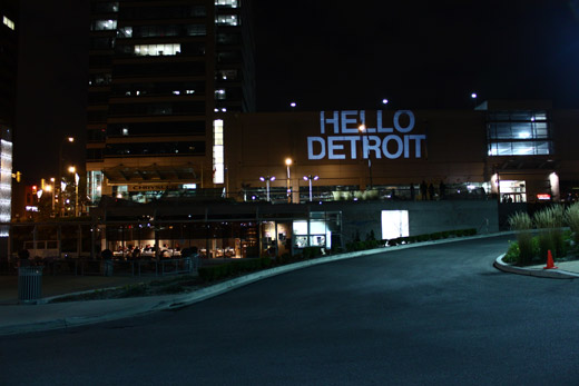
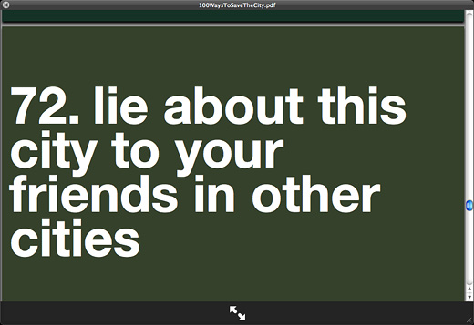
Something I meant to do a while ago, but I’m doing it now… I’ve uploaded the list of 100 ways we suggested to save the city. The list ranges from the entirely possible to completely imagined, but each one might just make this city a better place, or at least make you feel a little bit better about this city.

There’s a different background colour for each of the 100 ideas, each of which was taken from a Google Map of Windsor. The colour didn’t show up so well in our projection, but it was there.

We’ll also upload the little Max patch we wrote to do the performance … it’s quite easy to use, but maybe would eventually be better to be something written in Processing?

Download the PDF for your enjoyment.

Earlier This Week In the Basement of BCL HQ

IMG_5441

Monday night was another huge brainstorming session with some new and old friends. We spent most of the evening trying to figure out the potentials in doing something like a floating sculpture in the Detroit River. We’ve discussed this before, and it seems that the space between what we’d really like to do and reality is quite large.

That’s part of the fun though, how do you generate some kind of communication across borders without alerting the authorities, or how do you manage the headaches of going through the proper channels?

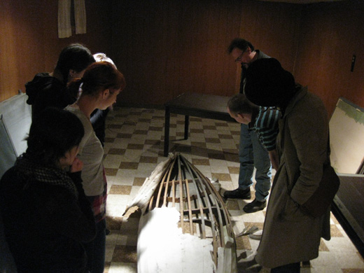
At some point we headed down to the basement and looked at a kayak Rod made when he was in grade 8 (pictured above). We wondered if it could act as a potential substrate for one part of the project. Though we talked about projects like the Waterpod Project or Andrea Zittel’s Pocket Property Floating Island project, it became fairly clear that anything we could do in the short-term would need to involve a kind of very limited-duration kind of exchange between Windsor and Detroit.

We also talked about a kind of guided tours of neighbourhoods in Windsor and Detroit (and while these have already been happening), the difference here would be to exchange with a group of folks from Detroit, so that we give them a list or map to see parts of our city, while we get to head across for a neighbourhood level tour of places in Detroit!

Canadian Association of Cultural Studies Conference, McGill University

montreal

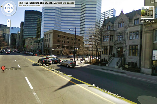
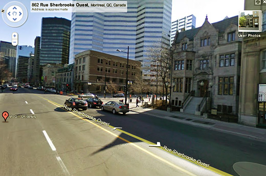
Danielle and I will be heading to Montreal to speak at this year’s Canadian Association of Cultural Studies Biannual Conference at McGill University. We’re presenting in the Cultural Production panel under the theme of Social Practice and Public Space.

Our presentation entitled, “Social Practice: New Models for Collaborative Cultural Production,” will frame the city of Windsor and the research and practice of Broken City Lab as a model for collaborative cultural production and an experiment in tactically infiltrating the institutions of the city.

It should be a really great conference with other papers tackling, “Youth Artist Networks and Cultural Policy: Possibilities and Pitfalls” by Miranda Campbell, McGill University, or “The Art of Change? Toward Theorizing Community-based Cultural Production” by Sheryl Peters, York University … things like this are hugely good for getting a really fast overview of what other kinds of research are going on across the country—awesome!!!

(Plus, catching up with long lost friends and seeing Immony’s opening at Videographe are huge bonuses!)

Extended Field Trip Day 3: Construction

IMG_3631

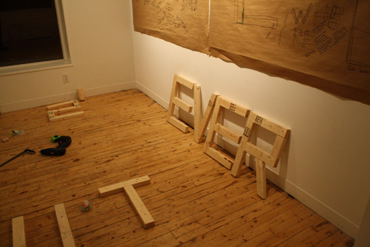
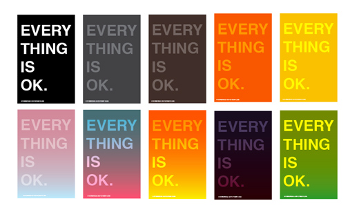
Day 3 of our Extended Field Trip #001 in Peterborough at Artspace was filled with design, math, and construction. Having decided that the general sense of the city is that “everything is OK,” we moved forward on printing posters and building some text that will be on display for the opening Friday night.

We had many adventures in carpentry today and I think this is just the beginning of working on some more projects of this scale.

The day started with another walk around town to get our posters printed that also read, “Everything is OK.”

Continue reading “Extended Field Trip Day 3: Construction”

Extended Field Trip Day 2: Mapping

IMG_3499

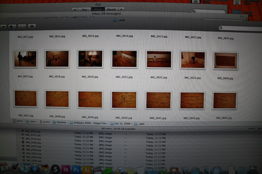
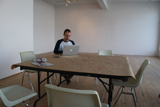
We spent the better part of Day 2 of our Extended Field Trip #001 in Peterborough at the wonderful Artspace talking to some new people, synthesizing some questions from our broad understanding of the city so far, and trying to get a sense of what if anything there is to change about this place.

We also explored some more of the downtown core on foot and discovered some really specific things about the city that are starting to add up and answer our questions about how it is that things seem okay here.

Mapping Peterborough, its residents’ feelings about it, and then comparing those maps of sorts to Windsor is revealing in helping us to understand the very specific view so many Windsorites have of our city. I’m not sure that we’ve been able to articulate this yet, maybe tomorrow when it’s not so late.

Continue reading “Extended Field Trip Day 2: Mapping”

Extended Field Trip Day 1: Stable City

IMG_2617

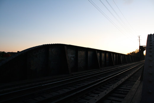
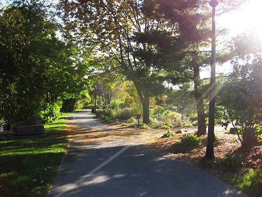
As part of our Extended Field Trip #001, we’re in Peterborough staying at the artist-run-centre, Artspace. We’re hoping to conduct some intercity research where we’ll attempt to understand the similarities and differences between Peterborough and Windsor and hopefully find some intersection thereof to which we can respond. We arrived in Peterborough in the late afternoon and did some exploring immediately. We’ll be posting more of our general observations and assumptions about why we saw what we saw later, but for now, we thought we’d give a visual introduction to this city.

Above, a path that follows the Otonabee River, which sits tucked away beyond the visual border of the downtown core. Somehow, this describes the general sense of Peterborough—nice, strangely well-maintained, and a place that just seems to work.

The city is considerably different than Windsor, and we’re hoping to figure out why it is that this city of 75,000 north of Toronto is a place that few people want to leave.

Basically, this post will present most of what we saw, much of which we’re still trying to reflect on and figure out. The discussion we had last night with some of the Artspace folks helped to frame and confirm what we saw—this place is okay and stable.

Continue reading “Extended Field Trip Day 1: Stable City”

Interface for our Text Projection Tool

maxlivetext-screenshot

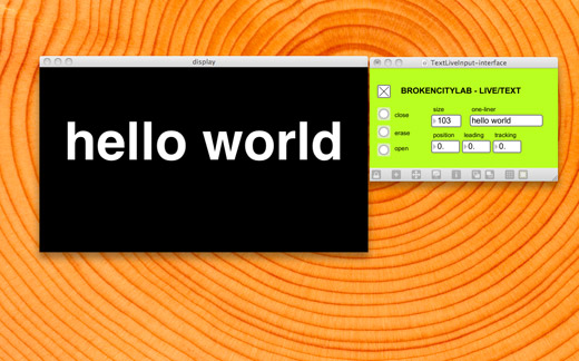
A few hours before we were set to do the 100 Ways to Save the City project, we decided we wanted to make it interactive in some way. I had gone ahead and put all of our ideas on how we might suggest saving the city into a nice Keynote presentation that we could easily play and have that project, but it really limited what the projection could be.

When it came down to actually figuring out how exactly to do this though, we were a bit unsure. There was nothing that I could think of that would do this fairly simple thing we wanted: input controls for basically just text on the laptop screen, and then displaying the resulting text on the projector. So, I went searching through old project files from Quartz Composer, Processing, and Max/MSP/Jitter.

It’s been a while since I’ve worked in any of those programs, and so I was a bit rusty. I knew that I had seen something like this before, and it seemed to me that somewhere I had already hacked together the exact thing we needed. I found the Max patch that detected the dominant colour in a video signal and then overlayed the word on the video (for example, Red), dynamically resizing the text depending on the intensity of that colour, which seemed hopeful, but ultimately didn’t have any manual input.

Finally, I found what I was looking for. It was based on a tutorial on Cycling74‘s website, meant to be dynamic subtitling or something like that. I downloaded the tutorial, changed what I needed and it worked for our performance. Since then, I’ve cleaned it up, got rid of the live video part we didn’t need and simplified the functionality. This was probably the first time that I was in a situation that proved Max/MSP/Jitter’s strengths—quick prototyping, troubleshooting, finessing that ca quickly lead to performance. If you have Max 5, you can download the patch, I’m not sure if it works with 4.6.

This might come in handy this week, depending on what we take on in Peterborough.

Extended Field Trip #001: Artspace in Peterborough

peterborough map

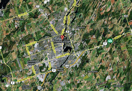
Broken City Lab is heading up to Peterborough, Ontario for all of next week (October 12 – 17, 2009) for an extended field trip to collaborate with Artspace for a series of community and inter-city research initiatives, workshops, and interventions to understand the city of Peterborough, its infrastructures, and its communities.

We’ll be blogging extensively on our activities and experiences, running our research hub / studio out of Artspace‘s main gallery. We’ll be following this nightly schedule, while also exploring, documenting, creating, and planning each day:

October 13, 14, 15, 16: “Open Office Hours” Ongoing Open Office Hours / Public Meetings / Workshops daily at 4-5:30pm

October 13: “Extended Field Trip: An Introduction to Our Social Practice” Opening Artist Talk / Overview of Research Plans for Peterborough at 7pm

October 14: “Get Lost: An Algorithmic Adventure with Strangers” Exploring the City and Getting to Know Neighbourhoods on Foot at 5pm

October 15: “Open Forum: On the City of Peterborough” Townhall Meeting / Community Discussion on the city of Peterborough at 7pm

October 16: “Home Work from an Extended Field Trip: Comparing notes on what to do with the city in 96 hours” Closing Performance / Activity at 7pm

If you’re in Peterborough or the area, here’s the address for Artspace: 3/378 Aylmer St. N. Peterborough, Ontario.